
Nottinghamshire County
(Historic)
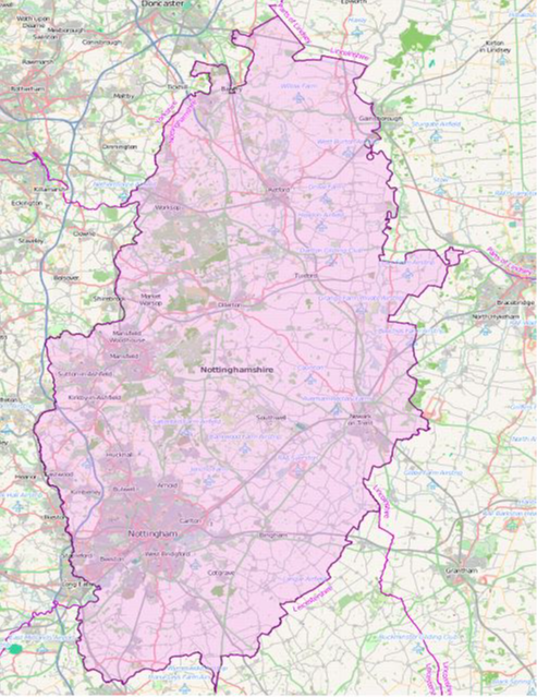
Map Reference: (53.133797, -0.949861)
Nottinghamshire in an inland county which stretches from the heart of the Midlands to the edge of Yorkshire. It is low-lying, rarely reaching 600 feet above sea level. The River Trent crosses southern Nottinghamshire as a broad stream. Nottingham itself has at its heart a mediæval castle on a sandstone hill overlooking and commanding the Trent. The market town of Hucknall, final resting place of Lord Byron, lies north-east of Nottingham. From Nottingham, the Trent continues north-west to Newark-on-Trent. The town grew around Newark Castle and a large marketplace, now lined with historic buildings. Nearby Southwell is home to a Cathedral of great architectural interest. The ancient lands of Sherwood Forest, famous as the legendary haunt of Robin Hood, reach from the edge of Nottingham northwards towards Yorkshire. Though less extensive than in former days, the remaining forest is impressive nevertheless. Much of north-western Nottinghamshire is known as "The Dukeries", so named as the location of several great estates, four of them the seats of Dukes. This area is better known now for the mining villages and industrial development that grew with the opening up of the Dukeries Coalfield. The major towns are Mansfield, Sutton-in-Ashfield and Worksop, "the capital of the Dukeries". Creswell Crags is an enclosed limestone gorge on the border between Nottinghamshire and Derbyshire. The cliffs contain caves that were occupied during the last Ice Age and which contain the northernmost cave art in Europe.